Data
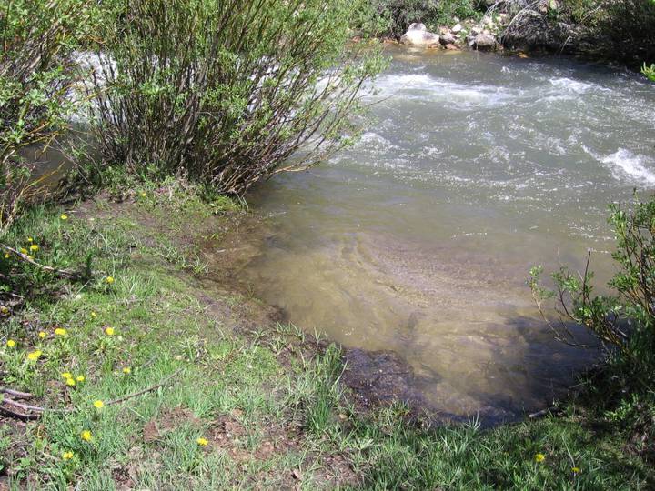
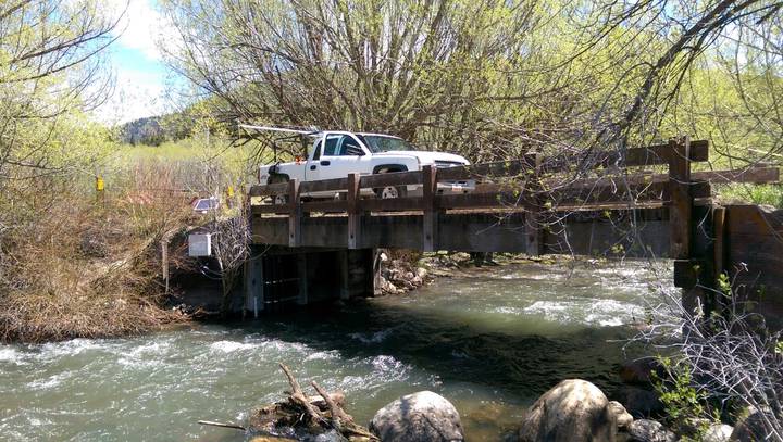
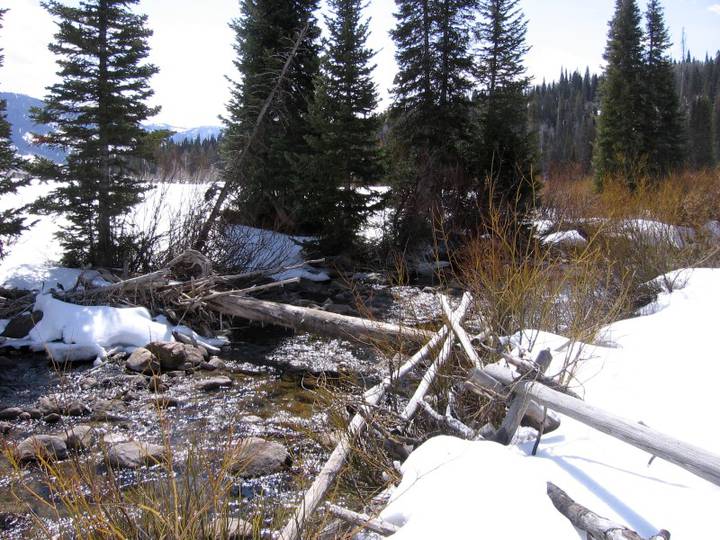
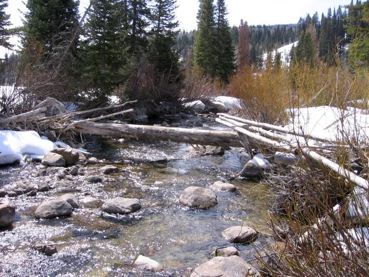
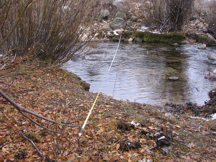
Logan River near Franklin Basin
| Site Code | LR_FB_BA | |
| Latitude | 41.9502 | |
| Longitude | -111.580553 | |
| Lat/Long Datum | EGM96 | |
| Elevation (m) | 2110.3 | |
| State | Utah | |
| County | Cache | |
| Watershed | Logan River | |
| Site Type | Stream |


Most Recent Instantaneous Measurements
LRO Data are collected using Mountain Standard Time. Timestamps of data are not shifted for daylight saving time.
Please consider this when viewing the data in the sparkline plots below and in the LRO’s other data products available via the Time Series Analyst application and HydroShare.
WARNING: These data may be provisional and subject to revision. The data are released on the condition that Utah State University may not be held liable for any damages resulting from their use.